

AHIMS: mobile site recording for Aboriginal cultural heritage
A field-focused mobile solution that helps authorised users record Aboriginal sites and submit higher-quality information in New South Wales.
Connected by design.
- 01Faster field recording
- 02More complete site information
- 03Direct digital submission
CHAPTER 01
A field tool for culturally significant places and objects
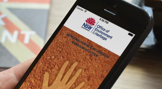
The AHIMS Site Recording app supports the reporting and recording of Aboriginal objects and other features likely to be significant to Aboriginal people, including ceremonial and spiritual sites in New South Wales. These records are collectively referred to as Aboriginal Sites.
The app was developed for the NSW Office of Environment and Heritage for use by cultural heritage professionals and Aboriginal communities. Its interface guides authorised users through the information relevant to the type of recording being completed.
CHAPTER 02
Capture location and evidence where the work happens
Field recording often combines written observations, coordinates, maps and photographs. The mobile workflow can gather GPS coordinates, create maps and use the device camera, reducing the amount of separate equipment and paperwork a field team needs to carry.
Prompts and mandatory fields help users provide relevant information while they are at the site. This can reduce gaps that are harder to resolve after a team has left the location.
- ↗New and updated site records
- ↗GPS coordinates and map creation
- ↗Photographic field evidence
- ↗Prompts based on relevant information
CHAPTER 03
Reduce repeated handling between field and system
Users can manage recordings, obtain site-recording forms and import or export information. Digital submission reduces the need to prepare a separate form after the field visit and can limit errors introduced when handwritten records are transcribed into another system.
The application also supports recording authorised impacts to existing sites, keeping the field task connected to the wider heritage information-management process.
CHAPTER 04
Design for responsibility as well as efficiency
Cultural heritage information requires a considered product approach. The experience needs to support accurate recording while respecting the roles, authorisation and processes surrounding sensitive site information.
AHIMS illustrates how mobile design, geospatial features and structured data capture can make field work more practical without losing the context needed by the people responsible for the record.
AHIMS brings structured recording, location data and field evidence into one purposeful mobile workflow.
USEFUL CONTEXT
Common questions
What is the AHIMS Site Recording app used for?
It is used to record new Aboriginal Sites, update existing site records and record authorised impacts in New South Wales.
How does the app support field teams?
It can capture GPS coordinates and photographs, create maps and prompt users for the information relevant to the recording.
Who was the app designed for?
The app was developed for the NSW Office of Environment and Heritage for use by cultural heritage professionals and Aboriginal communities.